The Mitzpe Ramon Water Tower: From Vital Infrastructure to Local Landmark
From water by tanker truck in the 1950s, through the Rechter and Zarhi master plan and the Water Tower Neighborhood, to today, still a working part of the water supply: the story behind Mitzpe Ramon's skyline.
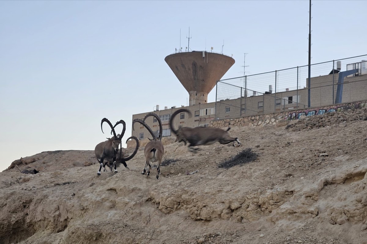
On the high ridge above Mitzpe Ramon's older neighborhoods, at the corner of Ein Saharonim and Ma'ale Dekalim streets, stands the town's water tower. It is one of the most recognizable features of the local skyline: it appears on the town's emblem, it can be seen from far away, and the promenade along the crater rim starts right beside it. Its story, though, begins with a question that has followed Mitzpe Ramon since its first day: how do you bring water to an isolated town more than 800 meters above sea level, in the heart of the Negev highlands?
The 1950s: water by tanker truck
Mitzpe Ramon began in 1951 as Camp Independence (Machane HaAtzmaut), a work camp for the crews building the road to Eilat, with no water or power connection. In May 1956 the first permanent settlers arrived: a cooperative of 14 young pioneers led by Hagai Avriel from nearby Sde Boker (more on this period in The History of Mitzpe Ramon, Part 1).
In those first years no water pipe reached the town, and water was brought in by tanker truck. The lack of a reliable supply was one of the central hardships of early life here.
The pipe that used to carry fuel
After the 1956 Sinai Campaign, the first fuel pipeline was laid north from Eilat: an 8-inch line. When a larger 16-inch line replaced it, the old pipe became the main water line for Sde Boker, and later for Mitzpe Ramon too.
The 1960s: a master plan
As Mitzpe Ramon grew into a development town, absorbing immigrants from North Africa in the 1960s, it was built to a master plan by architects Yaakov Rechter and Moshe Zarhi. The first housing blocks went up around the tower, and the architects commissioned photographer Moshe Gross of the Keren Or studio to document the new neighborhood taking shape beneath it.
The 1970s: the Water Tower Neighborhood
In the 1970s a neighborhood for career-army families was built around the ridge, and the area has been called the Water Tower Neighborhood (Shchunat Migdal HaMayim) ever since. Its four-story walk-ups are home today to older residents alongside families with children. Over the years the tower became part of the town's visual identity: painted into a mural at the local school, recorded in the architects' photographs, and a familiar landmark to find your way by.
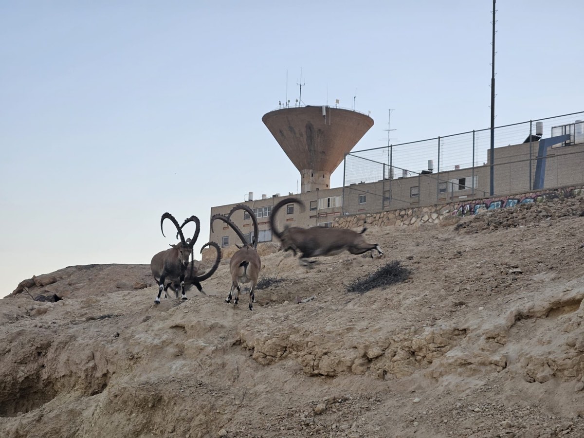
Its role today: still at work
Mitzpe Ramon sits at the southern end of the national water system, about 35 kilometers from the central network.
The tower isn't only a landmark: it is still a working part of the town's water supply. Mekorot is advancing a project with four new pumping units and a new 30,000-cubic-meter reservoir, set to double the water delivered to the area.
Looking ahead: urban renewal around the tower
The "Water Tower Compound" (Mitcham Migdal HaMayim) is the site of the first urban renewal (Pinui-Binui) project in Mitzpe Ramon's history, led by Dunietz-Elad and Africa Israel Urban Renewal. Still at a very early stage, the plan would replace 329 existing apartments with 1,800 to 2,000 new ones.
Visiting and the view
As an active water facility, the tower itself is closed to visitors, but the spot around it is an easy place to start. At the corner of Ein Saharonim and Ma'ale Dekalim, at the top of the Vardimon garden, is the Noa Lookout (Mitzpor Noa), looking over parts of the town, the Ramon ridge and Mount Gamal. From here the promenade heads east along the crater rim at the foot of Mount Gamal to the Hanging Balcony and the visitors center: about 2.5 kilometers of easy walking.